
In this article, I will analyze different geolocation APIs available for websites and mobile applications, examining how they contribute to geolocation, mapping, routing, IP, and place/discovery APIs.
Geolocation APIs from Mapbox, HERE, Foursquare, and Esri ArcGIS give developers access to reliable location data with an easy and integrated platform to develop more advanced and modern applications with location awareness.
What is Geolocation APIs?
A Geolocation API enables websites & applications to pinpoint a user’s location. Depending on the device, and the data available, location can be determined by GPS, Wi-Fi, cellular data, and IP addresses.
Geolocation API is useful for location dependent services including, but not limited to: tracking services (delivery), navigation, nearby businesses, weather, personalized content, pricing, and fraud (risk) detection. Accuracy and relevancy in services and offerings increase interactivity, convenience, and engagement, and a Geolocation API improves all of these.

Why Implement Geolocation APIs on Your Web and Mobile Platforms?
Tailored Interface: Leverage a user’s geo-location to alter standard content or provide targeted offers centered on a user’s location.
Seamless Travel Support: Users will be able to access and utilize fully interactive maps, view step-by-step directions, and search for relevant establishments.
Quick Service Requests: The ability to locate nearby services such as transportation, food delivery, and retail stores is now possible.
Location Confirmation: The ability to verify location of users provides an additional layer of security to user accounts by preventing unauthorized access.
Location Specific Promotions: Serve promotions and advertisements based on a user’s location which directly correlates to higher engagement and conversion.
Immediate Location Updates: Provide the real-time status of transport, delivery, personnel, or tracked items.
Informed Decision Making: Accessibility of user data via trends and analytics segmented by location provides valuable information for business decisions.
Advanced User Engagement: Geofencing, location based alerts, and proximity notifications are now available for implement for user engagement.
API Localization: User location helps determine which local regulations can be applied to an app ensuring compliance.
Developer Focused: Geolocation APIs offer documentation, SDKs, and developer info which simplifies the integration for web and mobile platforms.
Benefits Of Best Geolocation APIs for Websites and Mobile Apps
Location Help – Get data from GPS, Wi-Fi, cell networks, or IP to see where users are.
Better UX – Automatically identifying user location means less typing.
Content Help – Users appreciate updates on news, weather, and available services that pertain to their location.
Better Customer Engagement – Users appreciate offers that pertain to their location, especially if they are near the business.
Track What You Want – Monitor the live location of what you want, like deliveries or people.
Account Security – If a user logs into an account from a location that is different from what is normal for them, the account can be protected.
Business Data Help – Knowing where customers are can help businesses to determine what services to promote.
Geofencing – Set a boundary. If someone goes in or out of the area, they can be notified.
Always Responsive – Get location data from anywhere in the world with consistent performance.
Simple to Use – Get data from an API with thorough instructions available.
Use with Everything – Get location data for all your devices.
Save Money – Use geolocation services to save on costs.
Key Point & Best Geolocation APIs for Websites and Mobile Apps
- Mapbox Geolocation API – Provides precise location services with strong mapping and visualization support.
- HERE Location API – Offers advanced geolocation, routing, and traffic-aware navigation features.
- TomTom Geolocation API – Delivers accurate global geocoding and real-time traffic data.
- OpenCage Geocoding API – Simplifies forward and reverse geocoding with aggregated data sources.
- PositionStack API – Lightweight geocoding solution with scalable RESTful endpoints.
- IPStack API – Specializes in IP-based geolocation for fraud detection and personalization.
- Radar API – Focuses on location tracking, geofencing, and contextual event triggers.
- Foursquare Places API – Provides rich place data, venue search, and location insights.
- Esri ArcGIS API – Enterprise-grade geospatial analysis and mapping capabilities.
- MaxMind GeoIP2 API – Delivers highly accurate IP intelligence and geolocation data.
10 Best Geolocation APIs for Websites and Mobile Apps
1. Mapbox Geolocation API
Mapbox Geolocation API offers excellent forward and reverse geocoding. It can transform coordinates into addresses and their counterparts. Working with a variety of global datasets including those from governments, open data projects, and private sector initiatives further helps in the accuracy of the geolocation API.
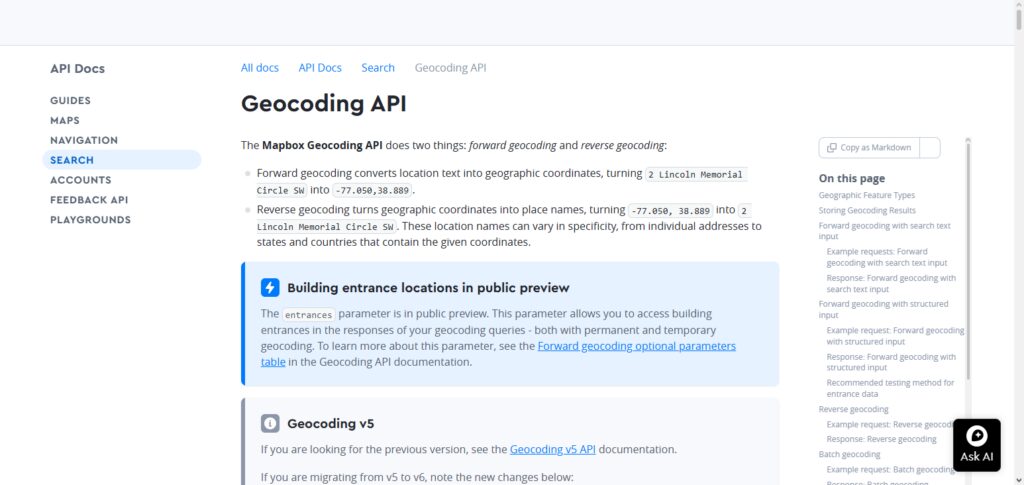
Developers have total control over the returned results, including the bounding boxes, filters, and even language preferences. Again, results are returned in GeoJSON, which further helps in integration with Mapbox’s graphical visualization tools and APIs.
Its features have proven to be quite scalable, which helps in offering the best geolocation API services to developers of websites and mobile service applications with interactive mapping services and real-time geolocation services.
Mapbox Geolocation API Features, Pros & Cons
Features
- Enhanced accuracy for geolocation and geocoding
- Interactive maps with tailored styles
- Support for reverse geocoding
- Routing and navigation with real-time updates
- Web, Android, and iOS SDKs
Pros
- Maps can be tailored to great extent
- Fantastic documentation for developers
- Great performance globally
- Maps can be used offline
- Great for enterprise applications
Cons
- Expensive for advanced features
- Pricing can be complicated
- Key management for APIs required
- Offline features need configuration
- Steep learning curve for novices
2. HERE Location API
HERE Location API is an advanced geolocation API offering sophisticated routing and navigation services for enterprises. There is traffic sensitive routing, and other advanced routing methods, such as matrix routing and isoline routing. It also features geofencing.
Developers are assisted with raster and vector maps, POI searches, and traffic information. Being RESTful services, they facilitate swift integration, with the help of the provided SDKs. HERE is a go to API across the globe for geolocation, routing, and navigation services for transport and mobility solutions.
HERE Location API Features, Pros & Cons
Features
- Highly accurate geocoding and reverse geocoding
- Navigation with turn-by-turn instructions
- Always up-to-date traffic information
- Route optimization
- Maps for the entire globe
Pros
- Reliable, enterprise-scale design
- Precise traffic data
- Excellent and extensive global coverage
- Great mapping features
- APIs are easy to use
Cons
- Costs can be high for premium plans
- Overly complicated for basic projects
- Free tier has limited uses
- Many features need different APIs
- Requires a good time investment for first uses
3. TomTom Geolocation API
TomTom Geolocation API features global geocoding sufficient for any app. POI searches support typo-tolerant queries and batch requests with a geopolitical view of contested territories. With versatile routing APIs, developers configure traffic-aware routes of any vehicle, even an electric one with range-constrained routing.
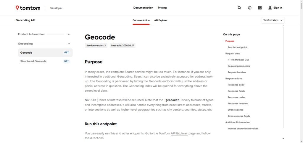
TomTom traffic APIs, geofencing, and fleet tracking help make the most of your vehicle. Excellent for automotive and logistics, TomTom is also consumer-app friendly and very easy to use. TomTom takes the crown for mobile and web app geolocation APIs.
TomTom Geolocation API Features, Pros & Cons
Features
- Services for GPS positioning
- Geocoding for addresses
- Planning routes
- Intelligence for traffic
- Searching and places nearby
Pros
- Great for navigation
- Reliable services for location data
- Excellent traffic data
- Easy REST API
- Supports lots of platforms
Cons
- Paid plans for premium features
- Free tier has limited requests
- Documentation can be long
- Limited offline features
- Costs can be high if used a lot
4. OpenCage Geocoding API
The OpenCage Geocoding API uses data from OpenStreetMap and other open sources to offer global forward and reverse geocoding. It provides rich annotations, including time zone and currency data, as well as sunrise and sunset data.
Geocoding for bounding boxes or filtering by proximity or country is also supported. OpenCage is also one of the most cost-effective offerings on our list. We find startup companies and open-source projects to be a big fan of OpenCage also.
One of the best geolocation APIs on this list for mobile and web geolocation, we consider OpenCage the best geolocation API we have on this list for more global-oriented lightweight apps.
OpenCage Geocoding API Features, Pros & Cons
Features
- Forward and reverse geocoding
- Global address search
- Multiple open-data integrations
- JSON APIs
- Language localization
Pros
- Simple implementation
- Cost-effective
- Data from OpenStreetMap
- Multilingual support
- Startups love it
Cons
- Not great for tracking in real-time
- Dependent on 3rd party data
- Free plan limited to a restricted amount of calls a day
- Basic mapping features
- Global coverage, but accuracy varies
5. PositionStack API
PositionStack API provides powerful real-time geocoding capabilities for more than 2 billion addresses with forward and reverse geocoding. The cloud-based system scales easily to accommodate billions of requests on a daily basis with a 100 millisecond response time.
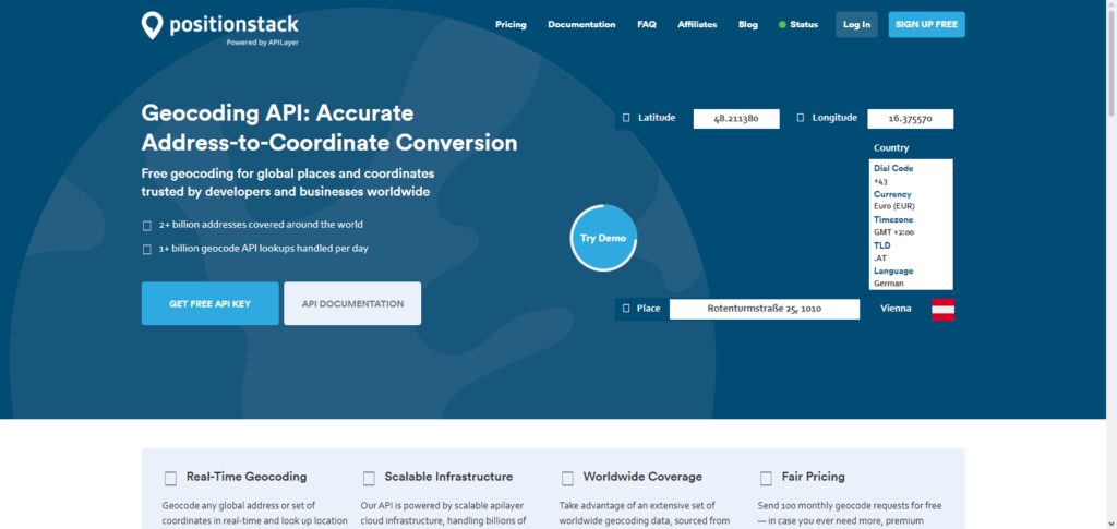
It provides an assist through support of embeddable maps and JSON, XML, and GeoJSON formats. Developers benefit from the exposure to lesser known hierarchical divisions of locations and elements such as neighborhoods and time zones.
Its free tier and low cost APIs are a huge plus. PositionStack is definitely one of the geolocation API frontrunners for web and mobile solutions. It’s a great pick for small businesses as well as large multinationals.
POSITIONSTACK API Features, Pros & Cons
Features
- Forward geocoding
- Reverse geocoding
- Batch geocoding
- Global geolocation data
- JSON REST API
Pros
- Easy to use API
- Fast implementation
- Bulk requests supported
- Cost-effective
- Good global coverage
Cons
- Limited mapping features
- No navigation
- Cost goes up with added consumption
- A fair coverage is a price you pay for basic analytics.
6. IPStack API
The IPStack API provides geolocation information based on an IP address. This includes the city, state, internet service provider, the timezone, and security information.
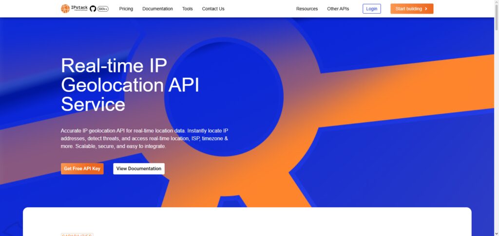
This API also provides information on VPNs and proxies, making this the ideal API for compliance and fraud measures. This API can process IPv4 and IPv6, and can cover more than two million locations and over two hundred thousand cities.
Companies can use this API for location-based marketing, content personalization, and compliance automation. This API provides geolocation information in an easily integrable JSON or XML format. IPStack is, for good reason, one of the best geolocation APIs.
IPSTACK API Features, Pros & Cons
Feature
- Geolocation of IP addresses
- Time zone, currency, ISP
- Threat detection
Pros
- Fast calls
- Easy REST API, Simple Integration
- Global Data, Predictable reliability
- Good developer support
Cons
- Less accurate than GPS
- Results can be skewed by VPN
- Premium security incursion costs extra
- Limited for tracking people indoors
- Free plan gets you limited calls per day
7. Radar API
Radar API products drive geofencing, trip tracking, fraud detection, and POI datasets. Radar API is a full stack location infrastructure. Radar API also supports forward and reverse geocoding, routing, and IP geolocation.
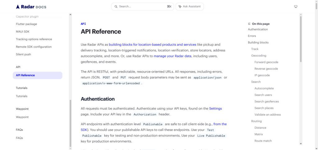
Developers can use this API to create location-based delivery notifications, tracking, and store locators. Radar also has geolocation spoof detection and system integration.
Radar provides SDKs for iOS and Android and web systems, so it’s very flexible. Radar is one of the top geolocation APIs for websites and mobile applications, and is very useful for event-based applications.
Radar API Features, Pros & Cons
Features
- Real-time tracking
- Geofencing with place detection
- Trip tracking
- Fraud analytics
Pros
- Industry leading geofencing
- Mobile focused
- High accuracy
- User friendly
- Strong developer SDKs
- Easy Implementation
Cons
- Smaller ecosystem than competitors
- Advanced features come with a price
- Scaling leads to high costs
- Limited mapping features
- Learning advanced features is complex
8. Foursquare Places API
Foursquare Places API offers robust POI data for 100M+ certified locations within 200+ countries. It supports venue searches and autocomplete, as well as geotagging and POI metadata including images, reviews, and ratings.
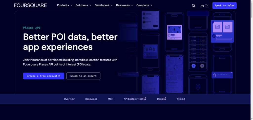
Developers can apply filters for categories, hours, and features. Placemaker allows users to suggest edits for POI data.
The Places API is called upon frequently in ride-hailing, retail, and travel apps, but it can be excellent anywhere contextual data can enhance user experiences. Foursquare is considered one of the best geolocation APIs for websites and mobile apps because of its top notch place discovery and venue data.
Foursquare Places API Features, Pros & Cons
Features
- Places Database
- Find Venues Nearby
- Business Info
- Place Recommendations
- Category Filters
Pros
- Huge Places Database
- Detailed Venue Info
- Ideal for local discovery
- Accurate business info
- Simple API
Cons
- Open for Places, not Navigation
- Premium plan is pricey
- Free plan has limitations
- Not ideal for routing
- Requires Internet
9. Esri ArcGIS API
Esri ArcGIS API covers all the areas of mapping, geocoding, routing, GeoEnrichment, and spatial analysis. It is an enterprise-grade API and works with a range of programming languages with the use of SDKs. This API allows the developers access to basemaps and data with .
demographics and analytics. ArcGIS is one of the best APIs for GIS and covers almost all the essentials. It is capable of both 2D and 3D mapping, supports offline content, and manages secured content. ArcGIS’s REST APIs work well with enterprise workflows.
Esri ArcGIS API is one of the best geolocation APIs for mobile and web applications. It is the best at providing solutions for spatial analysis and enterprise GIS.
Esri ArcGIS API Features, Pros & Cons
Features
- Advanced GIS Mapping
- Spatial Analysis
- Geocoding
- Interactive Mapping
- Location Intelligence
Pros
- Great GIS
- Enterprise-level
- Top Mapping
- High Scalability
- Great Analysis
Cons
- Learning Curve is High
- Premium
- Complex for newbies
- Some features require GIS
- Can be resource-heavy for large projects
10. MaxMind GeoIP2 API
MaxMind GeoIP2 API provides incredibly accurate IP Data. Covering almost the entirety of the Existing IP Addresses, MaxMind provides the Country, City, Postal Code, and Anonymizer Detection. Developers can utilize the Confidence factor and Accuracy Radius. Some of the common uses are Fraud, Compliance, and Personalization.
MaxMind’s GeoIP Insights provide Demographics and Risk Data. With 99.99% uptime and official client libraries, integration is simple. Most Geolocating Services for Web Apps and Mobile Services rely on MaxMind for their IP Based GeoLocation and security.
MaxMind GeoIP2 API Features, Pros & Cons
Features
- IP Geolocation
- Look up ISP and Organizations
- Anonymizing IPs
- Country and City lookups
- IP Fraud
Pros
- Best-in-class IP Database
- Fast Lookups
- Great Fraud
- Reliable Intelligence
- Easy Integration
Cons
- Geolocation is IP based
- Premium is pricey
- IP/VPNs can reduce precision.
- No GPS Tracking Capabilities
- Free Version Has Restricted Features
Conclusion
Selecting the proper geolocation API is dependent on your application’s use case, budget, and anticipated traffic. Whether your application would benefit from tracking users by their IP, real-time GPS tracking, or would benefit from advanced fraud detection or analytics and UI customization; the proper API can help your users and company. Check the features, pricing, and the level of developer support when choosing an API. The right geolocation API can help you make your apps and websites better, faster, and more user focused.
FAQ
What is a Geolocation API?
A Geolocation API allows applications to determine a user’s location using GPS, IP address, Wi-Fi, or cell tower data. It enables features like maps, routing, geofencing, fraud detection, and personalized content.
Which Geolocation API is best for navigation apps?
For navigation-heavy apps, Mapbox Geolocation API, HERE Location API, and TomTom Geolocation API are the best choices. They provide advanced routing, traffic-aware navigation, and real-time updates.
Which APIs are best for IP-based geolocation?
IPStack API and MaxMind GeoIP2 API excel in IP intelligence. They detect location, ISP, VPNs, and anonymizers, making them ideal for fraud prevention, compliance, and personalization.
What’s the most affordable geocoding API?
OpenCage Geocoding API and PositionStack API are cost-effective solutions. They provide reliable forward and reverse geocoding with global coverage, perfect for startups and lightweight apps.
Which API is best for place discovery?
Foursquare Places API offers rich POI data, venue search, and contextual insights. It’s widely used in retail, travel, and ride-hailing apps for location-based recommendations.