

In this article, I will describe the Best Maps and Geocoding APIs for Developers. These APIs offer developers the tools necessary to create location driven applications which include the services of maps, address search, and navigation along with other geographic data.
These APIs allow developers to implement advanced location features and real time maps in their websites and mobile applications.
Why Choose Maps and Geocoding APIs for Developers
Less Work Integrating Location Features: Using Maps and Geocoding APIs allows features like maps, location searches, and address and route features to be built quickly. No need to build geographic systems as part of the application.
Location Data That You Can Trust: APIs bring reliable location services to applications by supplying useful location information, including latitude, longitude, addresses, and more.

Enhanced Applications through Mapping and Location Services: Features such as maps, tracking, routing, and location services encourage and enhance user engagement through application interactivity.
Flexibility in Use of Location APIs: The APIs can be used for a broad range of applications, including, but not limited to, logistics, travel, real estate, rides, commerce, and analytics.
Sophistication in Navigation and Routing: APIs can provide features such as traffic, routing, distance, and time, all of which can contribute to a more sophisticated navigation tool.
Cost and Time Savings: The need for custom mapping infrastructure is alleviated, allowing redirection of costs and time to other areas.
Coverage of All Locations: All leading APIs are useful for applications built for a global audience because they are built with maps of all countries.
Location-Intelligent Applications: The geocoding and location intelligence services can enhance operational effectiveness and facilitate location-based decisions.
Flexible to Continuing Growth: Maps and Geocoding APIs can sustain the growth in application users from a small audience to a large enterprise application.
Benefits Of Maps and Geocoding APIs for Developers
Simplifies Location-Based Development: Since Maps and Geocoding APIs bring tools for developers to incorporate mapping, searching for locations, and adding geographical functionalities, developers do not have to build location-based systems from scratch.
Provides Accurate Address Conversion: Maps and Geocoding APIs help apps transform addresses to geographical coordinates and vice-versa, enabling developers to build location-based apps with higher reliability.
Enhances Navigation Features: Developers are able to improve user navigation and experience within apps by adding functionalities to compute distance and travel time as well as plan routes and generate turn by turn directions.
Improves Application User Experience: Apps that engage users and offer convenience through features like interactive maps, location tracking, nearby search, and personalized location services see improvements in user experience.
Supports Real-Time Location Tracking: APIs support real-time updates of location and traffic for apps. These are especially useful for Delivery services, Transport and Fleet Management systems.
Reduces Development Costs: Development and maintenance of mapping infrastructures consume a lot of time and resources. Use of third party Maps and Geocoding APIs helps eliminate mapping infrastructures and thus saves costs.
Enables Global Application Reach: With worldwide geographical coverage, API Maps and Geocoding enable developers to build apps that cover as many countries and regions as they choose.
Improves Business Decision-Making: Location-based and spatial analytics improve service delivery and help businesses locate and understand their customers to seize opportunities.
Supports Multiple Platforms: Maps and Geocoding APIs are integrable to Websites, Mobile, Desktop Apps, and even IoT devices.
Provides Scalable Solutions: Professional mapping APIs strike a balance for Startups and Enterprise Apps, as they are built to scale user requests.
Key Point & Best Maps and Geocoding APIs for Developers
| Maps & Geocoding API | Key Features |
|---|---|
| Mapbox API | Provides customizable maps, navigation services, geocoding, directions, traffic data, and powerful location visualization tools. Supports mobile and web applications with flexible styling options. |
| HERE Maps API | Offers mapping, geocoding, routing, traffic information, fleet management, and location intelligence services. Provides enterprise-grade mapping solutions. |
| TomTom Maps API | Includes maps, navigation, geocoding, traffic updates, route planning, and EV charging location data. Designed for mobility solutions. |
| OpenCage Geocoding API | Converts addresses into geographic coordinates and coordinates into readable addresses using multiple geocoding data sources. |
| PositionStack API | Provides forward and reverse geocoding services with support for worldwide addresses, regions, and location data. |
| Geoapify API | Offers geocoding, reverse geocoding, routing, map tiles, places search, and location-based services using open map data. |
| Esri ArcGIS API | Provides advanced mapping, spatial analysis, geocoding, 3D visualization, and geographic information system (GIS) capabilities. |
| Pelias Geocoding API | Open-source geocoder supporting address search, autocomplete, reverse geocoding, and location discovery. |
| MapTiler API | Provides customizable map tiles, vector maps, satellite imagery, geocoding, and offline mapping capabilities. |
| Carto API | Provides location intelligence, spatial analytics, data visualization, and mapping tools for businesses. |
1. Mapbox API
Mapbox API is one of the leading Maps and Geocoding API for Developers. It has mapping, navigation, geocoding, and location intelligence APIs. With Mapbox, developers are able to customize interactive maps for their websites and mobile applications.
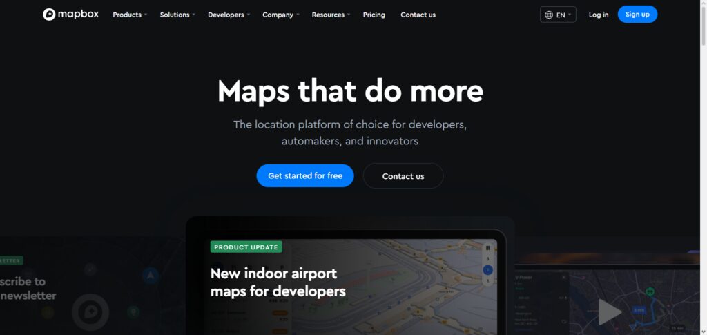
Developers will have access to vector maps, satellite views, routing, traffic, and point of interest searches. With the API, SDKs are supported on both Android and iOS, plus Web SDKs.
This makes the API great for travel applications, delivery, and ride sharing applications. Also, there are a variety of data visualization tools provided by Mapbox to help companies build rich user experiences and analyze geographic data.
Mapbox API Aspect, Benefits & Drawbacks
Aspect
- Vector map and satellite imagery customizations for mobile and web.
- Geocoding and reverse geocoding with location searching.
- Navigation with route optimization and traffic data.
- Map styling and data visualization tools with SDKs.
- Offers SDKs for Android, iOS, and JavaScript.
Benefits
- Can support aesthetically pleasing maps.
- Offers options adaptable to many business needs.
- Application support at scale with worldwide locations.
- Navigation improves user experience.
- Integrates easily with development infrastructures.
Drawbacks
- Maps and features become costly for advanced usage.
- Technical experience required for advanced customization.
- Pricing may be challenging for small businesses.
- Some features rely on external location data.
- Many competitors serve enterprise GIS analytics better.
2. HERE Maps API
HERE Maps API is one of the Best Maps and Geocoding APIs for Developers, particularly for enterprise and transportation apps. Developers of enterprise apps are equipped with the tools to develop enterprise-grade apps like logistics, fleet, and automotive solutions using HERE APIs.
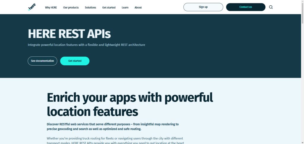
HERE APIs are loaded with valuable mapping services, geocoding, reverse geocoding, routing, traffic, and location intelligence. HERE traffic is updated in real time, making HERE flexible for route planning.
HERE Maps API is geocoding made easy because it is versatile for different coding environments at a business scale, meaning there is reliability in HERE Traffic for an enterprise client with huge demands for location intelligence.
HERE Maps API Aspect, Benefits & Drawbacks
Aspect
- Makes accurate global maps and queries.
- Offers routing and navigation geocoding with reverse traffic.
- Includes real-time traffic and route optimizations.
- Supports fleet management and transportation.
- Offers enterprise location intelligence.
Benefits
- Great navigation and logistics accuracy.
- Great support for automotive and mobility.
- Excellent real-time traffic and road data.
- Great for large enterprises.
Drawbacks
- Price may be difficult for small businesses.
- Advanced features require time to learn.
- Some tools primarily cater to enterprise users.
- Some mapping platforms provide greater customization.
- For some simple location projects, it may be best to avoid this platform.
3. TomTom Maps API
In the running for Best Maps and Geocoding API, TomTom Maps API offers navigation and mobility APIs. TomTom offers digital mapping, geocoding, reverse geocoding, route planning, traffic analysis, and travel time services. TomTom APIs can be applied to automotive systems and used within delivery and smart transport apps.
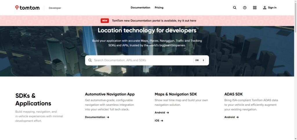
With TomTom APIs, developers gain access to real, global mapping data with real-time traffic updates to enhance the user navigation experience. TomTom APIs for electric vehicle routing and location services also provide modern mobility solutions with real and dependable geographic data.
TomTom Maps API Aspect, Benefits & Drawbacks
Aspect
- Maps, routing, and navigation APIs.
- Traffic, time, and EV routing incorporated.
- APIs for locating and visualizing.
- Mobility application development tools.
Benefits
- Accurate traffic and data.
- Transportation and automotive focused.
- Smart mobility solution compatible.
- APIs are supported worldwide.
Drawbacks
- Advanced features are behind a paywall.
- Smaller development community.
- Limited GIS analytics.
- Customization is constrained.
- Not great for small, simple use-cases.
4. OpenCage Geocoding API
OpenCage Geocoding API is one of the Best Maps and Geocoding APIs for Developers that puts a premium on user-friendliness for Geocoding and Reverse Geocoding. OpenCage turns geocodes into geographic coordinates and the reverse.
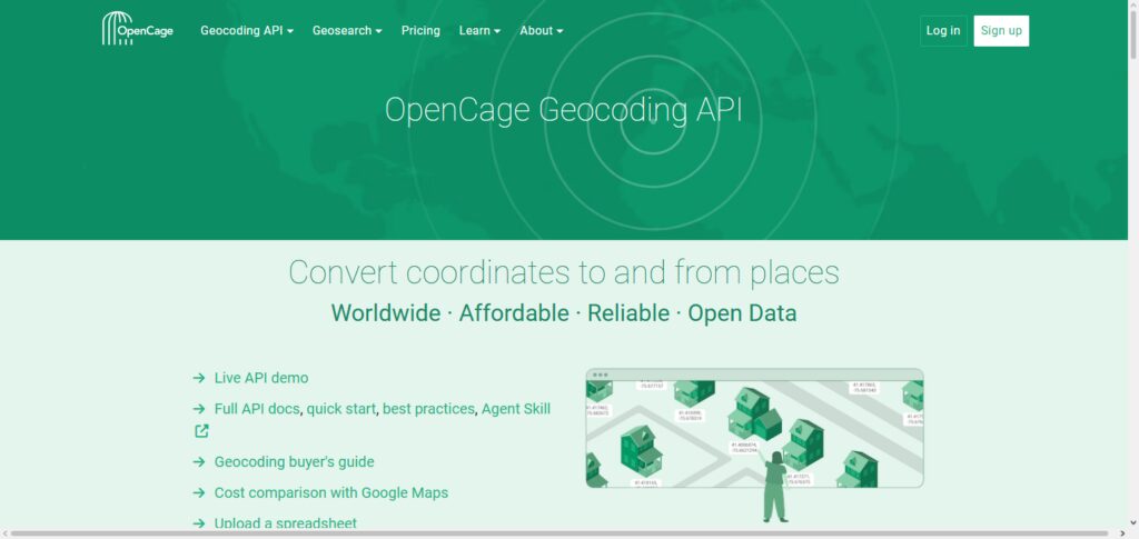
It relies on multiple data sources for worldwide coverage. It is the simplest to incorporate for address searches and location and geographic data. Its API is simple and structured with a great attention to privacy. It is affordable and features an easy answer to made location-based applications that do not require extensive mapping infrastructure.
OpenCage Geocoding API Aspect, Benefits & Drawbacks
Aspect
- Get coordinates from addresses and vice versa.
- Multiple data sources.
- Global coverage.
- Easy REST API.
Benefits
- Beginner friendly.
- Affordable for small projects.
- Geocoding accurate and privacy-friendly.
- Low dev time.
Drawbacks
- No advanced navigation.
- No traffic.
- Limited GIS functionalities.
- External data sources will affect performance.
5. PositionStack API
PositionStack API is a good geocoding service and is found on many lists of the Best Map and Geocoding APIs for Developers.
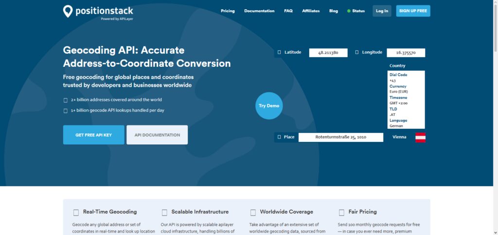
It can convert addresses to latitude and longitude coordinates. It provides both forward and reverse geocoding and covers every address across the globe. Using PositionStack, developers can build applications for location search, address verification, and delivery tracking, among other geographic data applications.
It provides quick responses and easy documentation and integration. Since PositionStack can be easily and rapidly brought into a project, it is great for both beginner and advanced developers. Finally, PositionStack is a great option for projects that need location data and do not need advanced traffic, geocoding, or navigation features.
PositionStack API Aspect, Benefits & Drawbacks
Aspect
- Geocoding services.
- Global search for addresses and locations.
- Fast API responses.
- Organized location data.
- Documentation is clear and easy to use.
Benefits
- Easy to use in an app.
- Affordable for basic geocoding requests.
- Useful for address search app.
- Global location data.
- Useful for small projects.
Drawbacks
- Mapping and navigation features are lacking.
- Basic geocoding requests.
- No traffic data.
- Limited features.
- Not designed for large scale applications.
6. Geoapify API
Geoapify is a developer-friendly mapping and geocoding API that offers geocoding, routing, searching for places, map tiles, and other location services. Geoapify uses open data for mapping geographic information, allowing developers to modify map services to their needs.
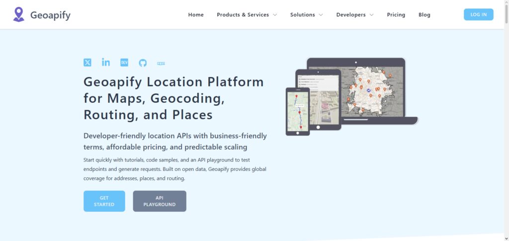
Geoapify allows businesses to create delivery services, travel services, real estate services, and search location services. Developers have access to application programming interfaces that help address searching, routing, and visualization of maps. Geoapify is well-liked by independent developers and startups for its supportive pricing, customizable options, and its support for OpenStreetMap.
Geoapify API Aspect, Benefits & Drawbacks
Aspect
- Geocoding, routing, and map tiles.
- Location search and places API.
- Geographic data based on OpenStreetMap.
- Custom maps.
- Distances and routes.
Benefits
- Cheap for developers and startups.
- Good customization.
- Many location services.
- Fast to use in web apps.
- Good choice for maps when costs are high.
Drawbacks
- OpenStreetMap sets the standard for data.
- Complex features cost payment plans.
- Limited support for large scale solutions.
- Not suited for advanced GIS functionality.
- Less variety than other APIs.
7. Esri ArcGIS API
Esri ArcGIS API is an amazing enterprise-level option on our Best Maps and Geocoding APIs for Developers list. It’s geared toward advanced mapping and geographic analysis. Developers can use it for geocoding, spatial analytics, and 3D mapping and visualization, plus build GIS-based applications.
ArcGIS APIs are used by organizations for systems and solutions in governmental, environmental, and urban planning and business intelligence research. Along with highly precise geographic data, the API provides advanced analytics that give organizations the tools to understand trends at a particular location.
While it does have a bit of a learning curve since it does require a more advanced knowledge of GIS systems in comparison to other average APIs, ArcGIS is a go-to among professional-grade geospatial applications.
Esri ArcGIS API Aspect, Benefits & Drawbacks
Aspect
- Provides sophisticated GIS mapping and spatial analysis.
- Geocoding, 3D, and data management.
- Mapping and geographic intelligence at enterprise scale.
- Professional GIS mapping and application support.
Benefits
- Great for complex geographic analyses.
- Highly precise mapping data.
- Good enterprise and government backing.
- Good support for complex spatial workflows.
- Strong data visualization tools.
Drawbacks
- More expensive than basic mapping APIs.
- GIS and technical skills are requisite.
- Longer and more complicated setup.
- More complex than necessary for simple applications.
- Higher learning curve.
8. Pelias Geocoding API
Pelias Geocoding API is a pioneering open source geocoding API and is undoubtedly one of the most flexible and customizable geocoding APIs available to developers. It is one of the best-in-class Maps and Geocoding APIs for Developers.
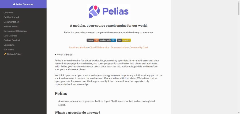
Developers can perform address geocoding, suggest address autocompletions, do reverse address lookups, and discover geolocations and place locations. Pelias being open source, developers can deploy and customize the system according to the needs of the applications.
It is the go-to API for developers who require utmost flexibility and geocoding infrastructure control. Pelias is a powerful geocoding API that is easily customizable and scalable. It is a sophisticated location search system, however, it require a certain level of system administration and programming expertise.
Pelias Geocoding API Aspect, Benefits & Drawbacks
Aspect
- Open-source geocoding and position searching.
- Supports search and autocomplete for addresses.
- Provides reverse geocoding.
- Supports self-hosting and self-customizing.
- Affects multiple geographic data collections.
Benefits
- Total data and infrastructure control.
- Flexible customization.
- No need of commercial providers.
- Provides open-source solution for developers.
- Supports location applications at any size.
Drawbacks
- Technical skills required for setup.
- Total responsibility for application maintenance.
- Hosting costs can grow as the application grows.
- Little to no support.
- Performance varies based on developer’s server.
9. MapTiler API
The MapTiler API is present in the Best Maps and Geocoding APIs for Developers for good reason. The MapTiler API provides geocoding, vector tiles, maps, and satellite imagery. Developers can use the MapTiler API to create responsive mobile and web application maps. MapTiler can also be used for offline maps.
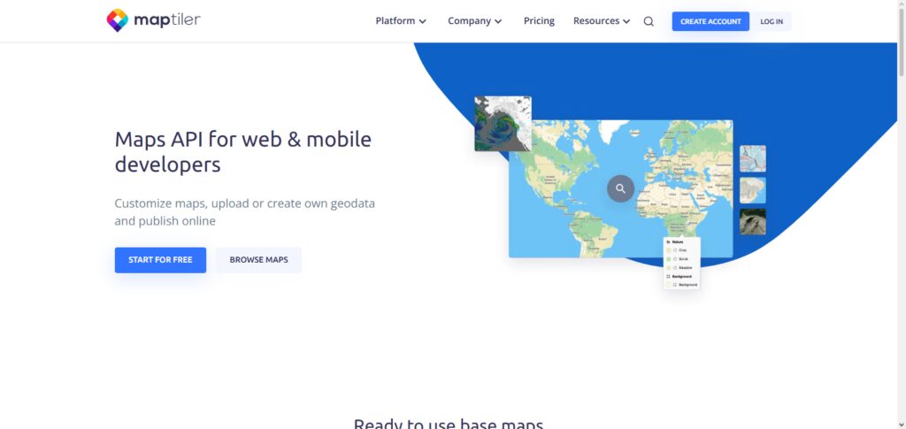
This is advantageous for applications that may have spotty or no internet connectivity. MapTiler API also provides customizable maps, location data, and tools for the designing of more complex geographic interfaces. MapTiler is a great mapping solution because of its customizable maps, high performance, and ease of use.
MapTiler API Aspect, Benefits & Drawbacks
Aspect
- Provides customizable vector maps and tiles.
- Supports satellite as well as offline maps.
- Provides geocoding and location services.
- Supports custom styles.
- Provides design and development tools for web and mobile apps.
Benefits
- Great for businesses with a need for custom maps.
- Supports creative map design.
- Supports offline mapping.
- Easy to integrate and good rendering performance.
Drawbacks
- Smaller ecosystem than Google Maps or Mapbox.
- Some advanced features require premium plans.
- Less navigation features.
- Customization can be complex.
- Not the best option for large enterprise GIS projects.
10. Carto API
Carto API is an excellent mapping tool and geocoding API used by developers for location-centric analytics and business mapping. It supports developers to build tools that derive actionable business insights from analyzed, geocoded data.
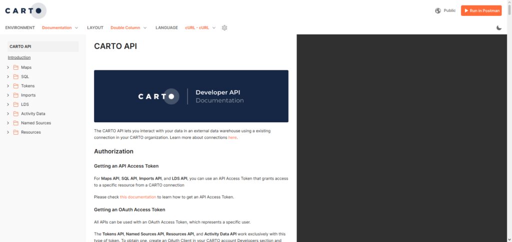
With Carto, developers have access to interactive mapping, spatial data management, analysis and embedded visualization, and mapping dashboards. Market researchers, location-based services, and urban planners use Carto APIs for business insight and logistical optimization.
Carto APIs provide analytics capabilities for advanced and location-based business insights, unlike traditional mapping APIs. Developers wanting to integrate advanced analysis and mapping logic are better served by Carto’s location intelligence.
Carto API Aspect, Benefits & Drawbacks
Aspect
- Offers location intelligence along with spatial analytics.
- Tools for Interactive maps and data visualization.
- Provides cloud-based geospatial analyses.
- Can be integrated with business intelligence tools.
- Can be used for the analyses of business-related geographic data.
Benefits
- Great tool for gaining insight.
- Spatial analytics offered are robust.
- Plays a part in enhanced decision-making.
- Can build visualization dashboards.
- Good tool for enterprise analytics.
Drawbacks
- Not a good tool for basic mapping.
- Can be priced out of small business budgets.
- Needs more spatial data analysis knowledge.
- Less navigation features.
- Draws the line at map analytics.
Conclusion
When deciding on Maps and Geocoding APIs for Developers, consider project needs, cost, accuracy, and features. For enterprise apps and complicated navigation, APIs like Mapbox, HERE Maps, and TomTom work best. For basic geocoding and location services, OpenCage, PositionStack, and Geoapify are best.
For businesses needing advanced GIS analytics and Location-based Intelligence and services, Esri ArcGIS and Carto are the best options. Developers can use the best APIs to build location-apps which are better, faster, and smarter on the web and mobile based on user experience.
FAQ
What are Maps and Geocoding APIs?
Maps and Geocoding APIs are developer tools that provide mapping, location search, address conversion, routing, and geographic data services. They help developers build location-based applications such as navigation apps, delivery platforms, travel websites, and business intelligence tools.
Why should developers use Maps and Geocoding APIs?
Developers use Maps and Geocoding APIs to add accurate location features without creating mapping systems from scratch. These APIs provide ready-to-use services like map visualization, address lookup, route planning, and real-time location data.
Which is the best Maps API for developers?
The best Maps API depends on the project requirements. Mapbox is popular for customizable maps, HERE Maps and TomTom are strong choices for navigation and enterprise solutions, while Esri ArcGIS is preferred for advanced GIS applications.
What is the difference between geocoding and reverse geocoding?
Geocoding converts a physical address into geographic coordinates such as latitude and longitude. Reverse geocoding does the opposite by converting coordinates into a readable address or location details.
Is Mapbox API suitable for mobile applications?
Yes, Mapbox API provides SDKs for Android and iOS applications, allowing developers to create interactive maps, navigation features, location search, and real-time tracking experiences.